Textured 3D model
3D photogrammetric model
The baseline itself, tied to ground control points. Delivered once after the first survey, then again after each review flight. It serves the rows on recording and on saying what moved.
Heritage Documentation flies a drone or aircraft survey over your monument and returns a photogrammetric 3D model. That model is the baseline every later condition review compares against.
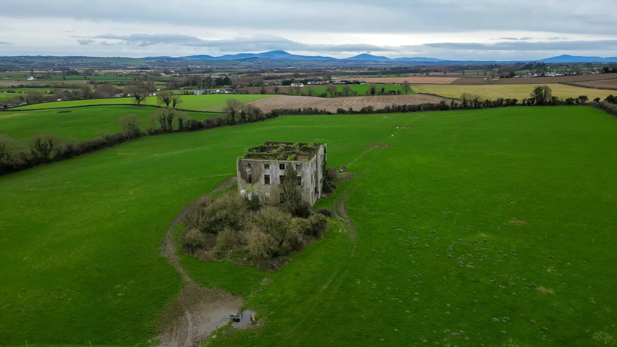
Measured baseline
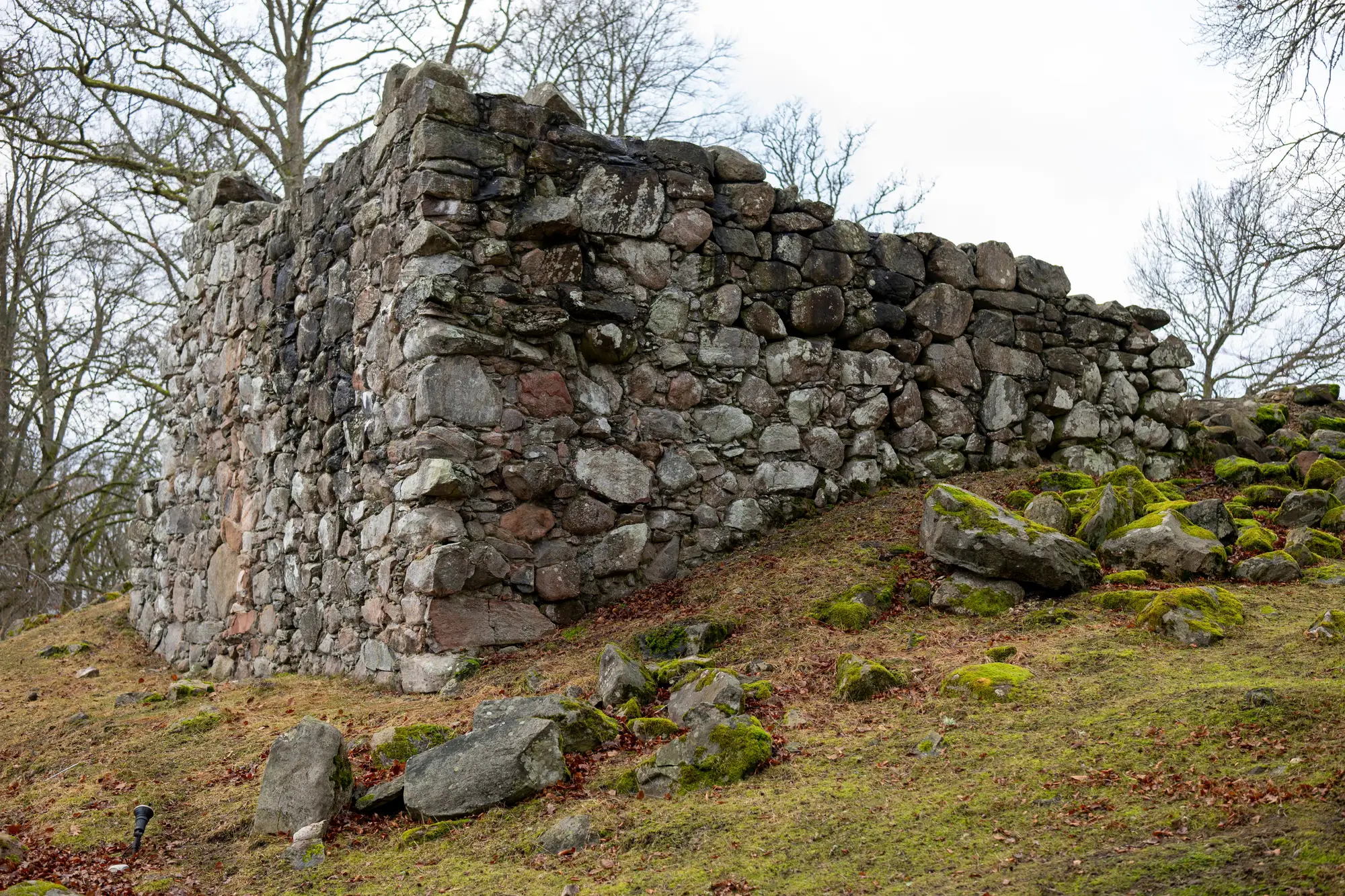
At the review you have last time's photographs and a condition form. You walk the site, try to find where the last photographer stood, and compare two pictures taken in different light from slightly different spots.
The top of the wall seems to lean further than before, so you write that down. Nobody can put a measurement next to it, so the note stays an opinion and the question goes to the next review, and to the next officer, with the folder.
| Step | Photo folder and notes | Measured baseline |
|---|---|---|
| Recording the state on the day | Photographs from the positions you can reach on the ground, and notes on the condition form. | A survey flight over the monument, processed into a 3D model, an orthomosaic and a point cloud, with a written record of the survey date and coverage. |
| Finding the same view again | Old photographs, a guess at where the photographer stood, and whatever the light allows. | The review flight is processed the same way and laid onto the baseline, so the comparison does not depend on where anyone stood. |
| Saying what moved | Two pictures side by side, judged by eye. “It looks like it has dropped.” | The two models are compared, and a difference between them is something you can measure and point to. |
| Still yoursDeciding whether a difference matters. The comparison shows where two surveys differ. Whether that is movement worth acting on is a conservation judgement. | ||
| Evidence for a grant or a consent | A folder of captioned photographs and the officer's account of how the monument has changed. | A baseline record with the survey date and coverage, and extracts from the model that show the state of the monument on a named day. |
| The upper parts you can't reach | Binoculars from the ground, or scaffolding and rope access when the budget allows. | The upper masonry, parapets and roofline are captured from the air in the same survey, within the limits of the resolution. |
| Still yoursClose inspection. Looking at a joint or a crack with your hands and eyes, and calling in a structural engineer, stays on your list. | ||
Textured 3D model
The baseline itself, tied to ground control points. Delivered once after the first survey, then again after each review flight. It serves the rows on recording and on saying what moved.
Point cloud
The same surface as measured points, for your surveyor to open in their own software.
Scaled image
A flat, scaled image of the monument, for GIS and for measuring across a face or a footprint.
Written record
A short document with the survey date, what was covered and how the survey was tied to the ground. It is the page you attach to a grant application or a condition survey form.
Comparison
At each review, the new model compared against the baseline, so the differences are laid out for you to judge.
You tell us which monument, where a drone can fly and who holds site access. We agree the flight plan and any ground control points with you before anything is flown.
A drone or crewed aircraft flies the monument in daylight and a settled weather window, ahead of your review.
The photographs become a photogrammetric model, a point cloud and an orthomosaic.
You receive the model files and the baseline record. At each later review we fly again, process the same way and send the comparison against the baseline. The interval is your review cycle.
No. It is a measurable record of how the monument looked on a given day. Judging what that means for the structure is an engineer's job.
Put our model beside the photographs and measurements you already hold for the same monument, and see whether the features you know line up. You decide whether it is good enough to work from.
The differences between two surveys can be compared. Whether a difference is significant is a conservation judgement and stays with you.
The method needs daylight and a line of sight from the air. Tell us before you book and we will say whether it fits.
That follows your own review cycle. We do not set an interval.
From a drone, under 10 cm a pixel. That records form and masonry courses. It does not record hairline cracks.
A textured model, a point cloud, an orthomosaic and a written baseline record. The point cloud and the orthomosaic are for your surveyor's and your GIS software.
Ownership and licence terms are written into the agreement before any flight. If your legal team needs to read them, ask for them early.
It depends on the monument, the site access and how many reviews you want covered. We price it for your site.
Tell us which monument and when the review falls. We will tell you whether a survey can be flown in time.