2 November 2026
Field notes: the two centimetres nobody believed until the model showed it
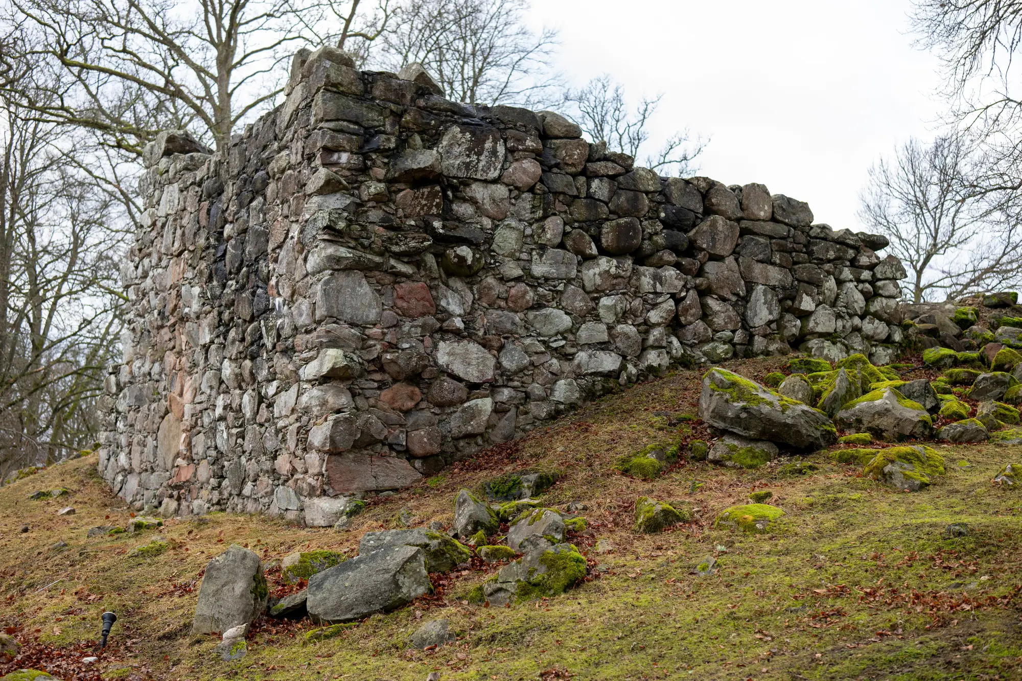
The south-east buttress at a site I won't name had been flagged as "stable, monitor" on four consecutive quinquennial reports. Four surveyors, four site visits, four photographs taken from roughly the same spot by the porch, four conclusions that nothing had changed. The mortar joint at the base looked the same in every image. Nobody was being careless. That's just what a buttress that's moving two centimetres over a decade looks like in a photograph: identical.
It took a laser scan commissioned for an unrelated structural question to catch it. The surveyor doing the comparison wasn't even looking for lean. He overlaid the new point cloud against an old photogrammetric model from a drone survey done years earlier, mostly as a sanity check on his own data, and the delta map lit up along one face of the buttress. Not dramatically. A consistent 1.8 to 2.1 centimetre outward shift across the lower third, tapering to almost nothing higher up. The kind of number that makes you go back and check you haven't got the two models the wrong way round.
He hadn't. When he brought it to the quarterly review, the first reaction in the room was disbelief. Someone had walked past that buttress every week for years. "It doesn't look like it's moved." Of course it doesn't.
Two centimetres distributed across three metres of masonry is invisible to a trained eye doing a visual inspection. It's also invisible to a camera doing a before-and-after, unless the two shots are taken from the exact same tripod position, same lens, same light, same time of year. Nobody's archive has that. Mine certainly doesn't.
This is the quiet failure mode of photo-based condition monitoring. It's excellent at catching the things that announce themselves: a new crack, a slipped tile, a stain that wasn't there last spring. It's almost useless at catching slow, even, distributed movement, which is exactly the kind of movement that precedes the failures everyone's actually afraid of. A buttress doesn't usually fall over because of the crack you can see. It falls over because of the decade of small shifts nobody could see, compounding under a roof load or a wet winter until the crack finally shows up as a symptom of something already well advanced.
The argument in that review room changed because there were two models of the same structure, built the same way, that could be measured against each other rather than eyeballed. Once you can put a number on a deformation instead of a vague impression, the conversation moves from "does it look different to you" to "here's where it moved and by how much." That's a different kind of evidence, and it's the kind that gets a repair programme funded rather than deferred for another five-year cycle on the strength of "seems alright to me."
It's also, frankly, the argument for building that baseline before you need it rather than after. The site I'm describing got lucky: an unrelated scan happened to exist at the right interval. Most buildings in most authorities' care don't have that. They have a condition report with photographs in it, taken by whoever was on site that day, from wherever they happened to be standing. A proper surveyed baseline you can re-fly and compare against turns the next review into a measurement rather than a guess, which is the only way you catch the two centimetres before someone has to explain, in hindsight, why nobody did.
If there's a structure on your books that's been "stable, monitor" for longer than feels entirely comfortable, Heritage Documentation can give you something to measure it against next time.