19 October 2026
Field notes: the crack a warden spotted three months early
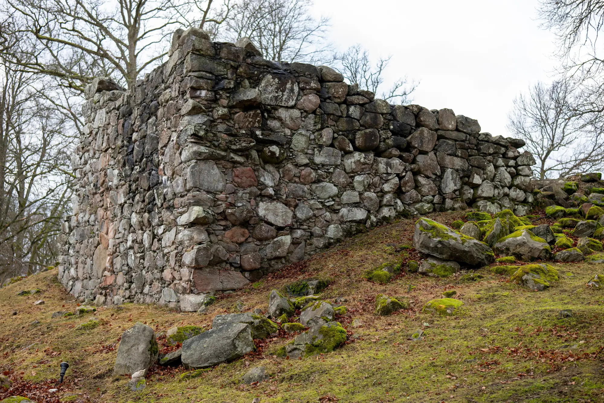
There's a particular kind of warden report that every conservation officer learns to take seriously, even when it's three lines long and ends with "probably nothing." It usually comes from someone who has walked the same churchyard or earthwork boundary every week for years, long enough to notice when the light falls differently on a wall than it did last winter.
I had one land on my desk in the spring. A volunteer warden at a scheduled monument, a ruined priory wall with a surviving arch, had been doing her usual circuit after Sunday opening and stopped at a section of the north elevation she must have passed a thousand times. A hairline crack had opened along a mortar joint below the springing of the arch, maybe 40cm long, running at an angle that made her uneasy. She took two photos on her phone, one close up and one standing back for scale, and emailed them with a note: "This wasn't here in January, I think."
Three months later the monument came up for its scheduled condition review. By then the crack had grown, visibly, to most people standing in front of it. The question the review team actually needed answered wasn't "is there a crack." It was "how fast is this moving, and is it still moving."
A warden's phone photos, however sharp-eyed the warden, run out of road here. You can hold two images up next to each other and argue about whether the gap looks wider. You can't measure it that way with any confidence, because you don't know the camera distance was the same, the angle was the same, the lens didn't introduce its own distortion. It's an impression, not a reading.
This is the gap that sits between every scheduled review, usually running to several years, and it's exactly the window where wardens do the real early-warning work. Nobody disputes that. The trouble has always been what happens to that warning once it's made: a note in a file, a photo in an inbox, a line in the warden's log that says "watch this." None of it gives the next review team, who may not be the same people, a way to put a number on what's changed.
What the priory case needed was something from the last baseline survey to set the new observation against: a measurable surface, not a remembered one. If the condition review before the crack appeared had produced a proper 3D model of that elevation, the warden's photo wouldn't have been the only evidence on the table. Someone could have gone back to the model, checked the joint width as it stood at baseline, and compared it against a fresh capture of the same section. The crack stops being "wider, I think" and becomes a figure, with the warden's sharp eyes as the reason anyone looked in the first place.
That's really the role a baseline survey plays in all this. It doesn't replace the warden, who will always see things a scheduled flyover six months prior couldn't have caught. It gives her observation somewhere to land. A baseline you can measure every future visit against turns "watch this" into "here's what changed, and by how much," which is a much easier thing to act on and a much easier thing to defend when funding decisions get made.
The warden's crack, as it turned out, was moving. Nobody argued about that twice.
If your monuments are relying on memory and phone photos between reviews, it might be worth finding out what a measurable baseline would look like for your site.