13 October 2026
How to brief a drone operator for a listed building condition survey
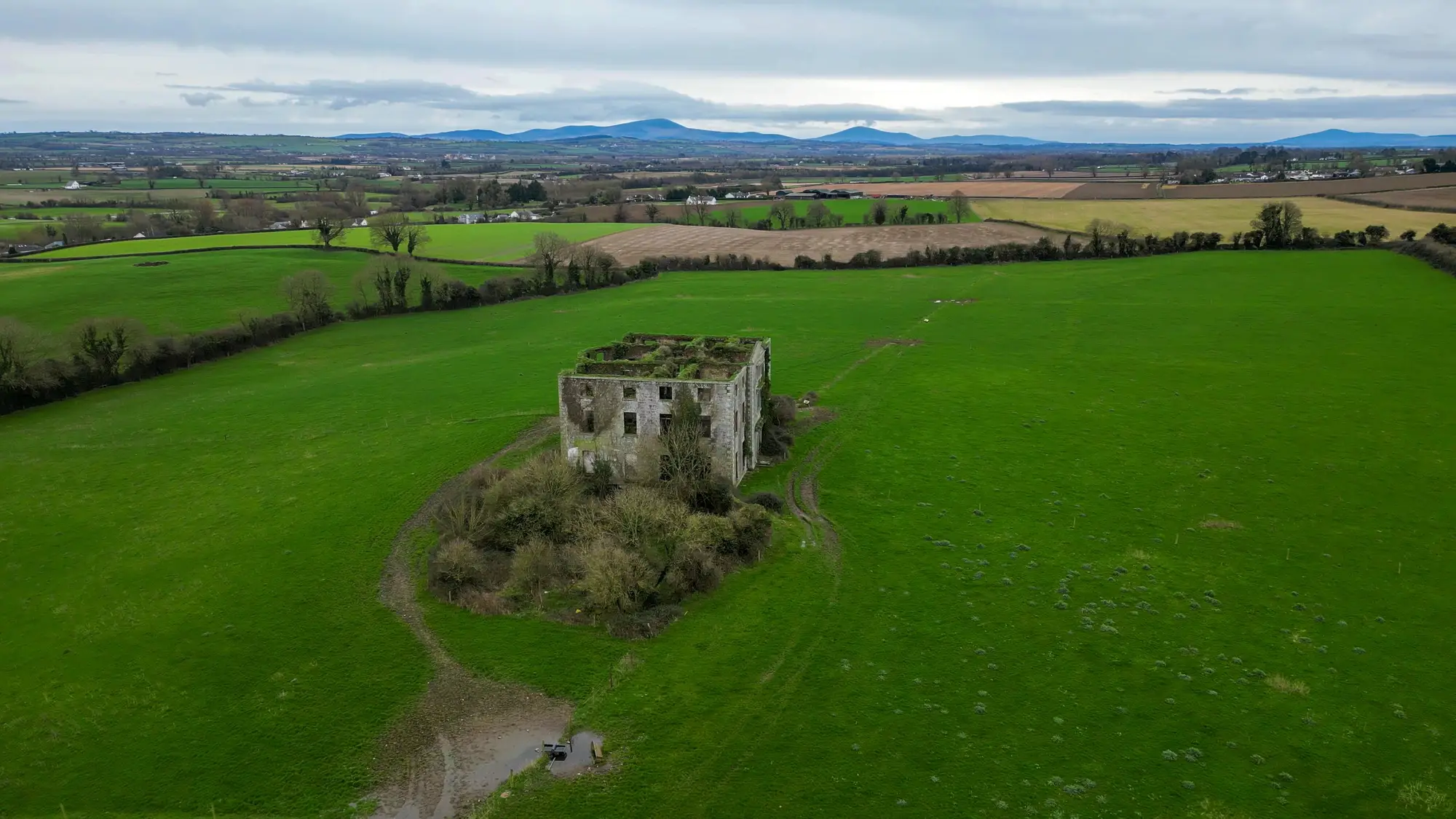
A drone survey brief for a listed building is not the same document as a brief for a new-build roof inspection. The operator needs to understand access constraints, scheduled monument consent if it applies, and what condition record you're trying to build over the life of the asset.
What the brief needs to specify
Most briefs that come back under-delivered are the ones that just ask for "a drone survey" and leave the operator to guess at resolution, coverage and format. Before you send anything out, work through:
- Elevations and coverage. List every elevation you need (north, south, east, west, plus any internal courtyards or light wells), the roof planes, parapets, chimney stacks, rainwater goods, and any problem areas flagged in the last quinquennial inspection.
- Ground sample distance. State the resolution you need in centimetres per pixel rather than "high resolution." Sub-10cm GSD is a reasonable baseline for spotting cracking, displaced slates, vegetation growth and failed pointing at range; go tighter and flight time, and cost, climb fast.
- Platform. Say whether you'll accept a standard drone survey, need a crewed aircraft pass for a tall structure, or are working near a site with flight restrictions. Church towers, spires and anything inside controlled airspace change who can legally fly it.
- Access and permissions. Confirm who's securing Civil Aviation Authority permissions, who's liaising with the diocese or estate if the building is ecclesiastical, and whether it sits inside a scheduled ancient monument boundary that needs separate consent for ground rigging.
- Deliverable format. Say exactly what you need back: an orthomosaic, a point cloud, a full photogrammetric 3D model, raw imagery, or some combination. If you want to measure movement or loss against this survey at the next review, say that in the brief itself.
Why the deliverable matters more than the flight plan
Conservation officers commissioning this kind of work have usually been burned by a brief that specified flight parameters in detail and said almost nothing about the deliverable. You get back a folder of JPEGs and a flight log, and when the next condition review comes round there's no way to measure what's changed against what you've already got. A photo comparison relies on judgement, lining up two separate shoots taken years apart and eyeballing the difference.
Spell out in the brief that you want something you can put a number against at the next review: a model that holds its own georeferencing, that can be measured in the same software each time, and that a different operator could in principle repeat the flight pattern for if you end up commissioning the next survey from someone else. If the brief doesn't ask for that, you'll get a set of photographs, however good the camera that took them.
It also helps to name the use case rather than assume the operator will infer it. "Condition baseline for the five-year quinquennial cycle" reads very differently to a drone pilot than "photos for the file," and the first framing is what gets you a model built to be compared against rather than a one-off record.
Heritage Documentation works from this brief structure directly: a sub-10cm GSD RGB survey flown by drone or crewed aircraft depending on the structure, delivered as a photogrammetric 3D model rather than a photo set, built once as your baseline and flown again at each review against the same reference. If you're drafting a scope of works for your next condition survey, our heritage drone survey page sets out what that baseline-and-review structure looks like in practice.
If your next quinquennial inspection is on the calendar and you want the survey to produce something measurable rather than another folder of site photos, get in touch about scoping a baseline flight.