26 October 2026
Briefing a structural engineer with a 3D survey model
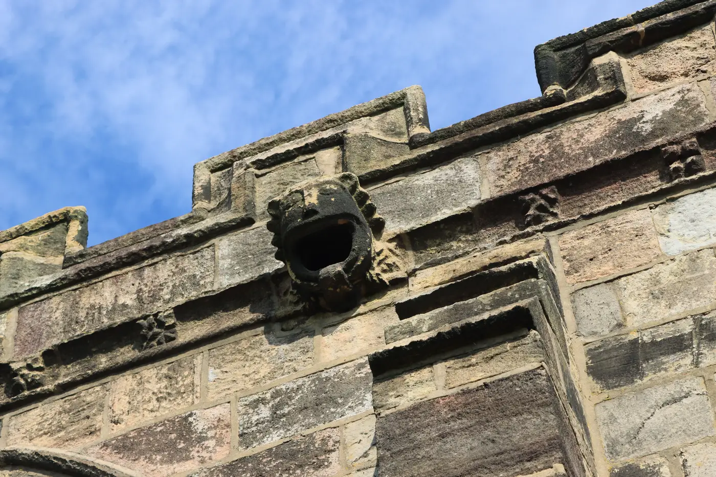
Most structural engineers who get pulled onto a monument job have looked at plenty of site photos and maybe a hand sketch of a crack pattern, but not many have been handed a proper survey model before. If you're the conservation officer organising the review, the brief you write around that model matters as much as the model itself. A dense point cloud or a photogrammetric mesh dropped into an engineer's inbox with no context gets opened once, admired, and then set aside while they ask for a tape measure and a ladder instead.
What the engineer needs before they open the file
Start with the question the review is meant to answer. A buttress that's been bulging for a decade needs a different brief than a roof truss suspected of new movement since last winter. Tell the engineer what triggered the review: a routine quinquennial inspection, a crack that's visibly widened, a change the site steward reported. Then give them the basics on the model itself:
- Capture date and method (drone, crewed aircraft, terrestrial scan)
- Ground sample distance or point spacing, so they know what's resolvable and what isn't
- Coordinate system, and whether it's tied to a local benchmark or a national grid
- Whether this is a baseline survey or a repeat visit meant to sit against an earlier one
None of that needs a long document. A one-page cover note alongside the model does more than a technical report nobody reads before the site visit.
Point cloud or mesh, and what not to quietly change
Hand off both if you can. The raw point cloud lets the engineer pull their own cross-sections and check dimensions against their own judgement, which structural engineers tend to want regardless of what the mesh shows. The textured mesh or orthomosaic is easier to orient within on a first pass, useful for walking a reviewer through which elevation is which before they settle into coordinates.
Keep the file at the resolution it was captured at. Don't simplify or lighten the mesh to make it load faster unless you note that you've done it and by how much. An engineer measuring a lean or a crack width off a model that's been quietly thinned out is working from numbers that aren't real.
Say plainly what the model doesn't show
This is the part most briefs skip, and it's the part that saves a wasted site visit. A model built from RGB imagery captures surface geometry: position, extent, visible crack widths, and displacement if there's a prior survey to compare against. It doesn't capture what's happening inside a wall, moisture content, or a crack hidden behind render or vegetation at the time of the flight. If a previous condition report flagged suspected internal movement in a pier, say so in the brief. The engineer then reads the model as a check on the external picture, alongside their own hands-on inspection of the fabric, rather than treating one as a substitute for the other.
It also helps to note where this model sits in your own record-keeping. If this is one review in a longer series, say when the last capture was and whether the new one is meant to sit next to it for comparison, or stand on its own. An engineer reading displacement across two models captured a year apart needs both shot to a comparable resolution and tied to the same reference points, otherwise any apparent movement could just be noise in the capture.
Keep the loop open after the handoff
Send along a contact who can answer questions about the capture itself: flight conditions, scaffolding or vegetation that blocked a view, anything that affected coverage on one elevation. Engineers reviewing survey models for the first time usually have a question or two about how a particular section was captured before they'll commit a number to a report. A conservation officer who can answer that while the engineer still has the file open saves a week of email back-and-forth.
None of this requires new software on the engineer's end either. Most structural consultants already have viewers for point clouds and meshes open to them. The limiting factor is almost always the brief, not the file format.
If you're setting up condition reviews that need to hold up against a prior baseline rather than a folder of old photos, Heritage Documentation's survey and modelling service builds that baseline and repeats it at each review, so what you hand the engineer is something they can actually measure against.