2 November 2026
How to measure stone erosion between two condition surveys
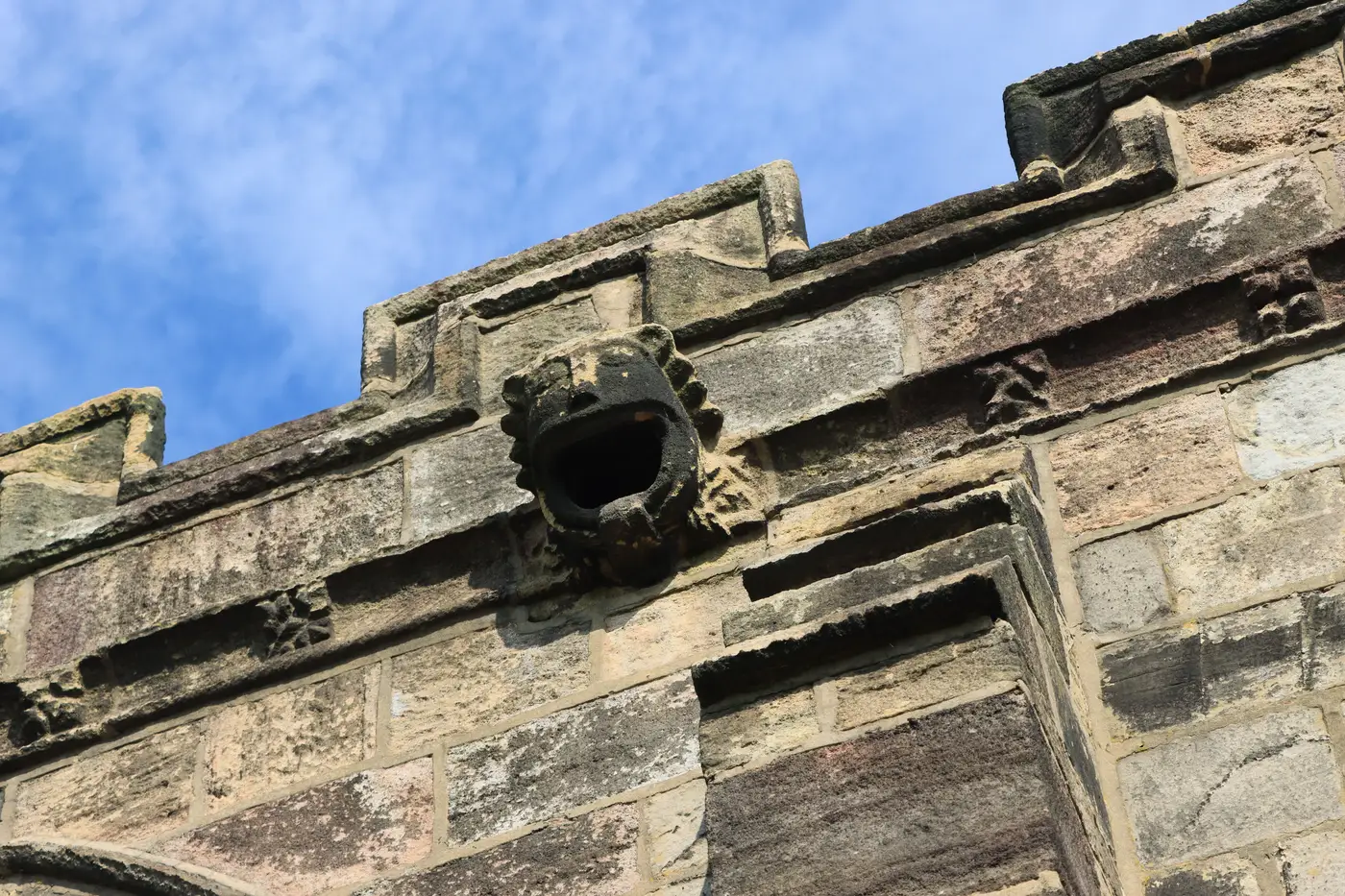
You've got two sets of condition photos, five years apart, of the same west tower parapet. The stone looks softer at the arrises. The tooling marks on that one voussoir have gone. Everyone on the inspection walks away agreeing something has changed. Nobody can say how much.
This is the gap most condition surveys fall into. Photographs document that decay happened. They don't measure it. When a funding body, a structural engineer, or your own five-year review cycle asks for a loss figure rather than an impression, a photo album doesn't answer the question.
Why side-by-side photos don't give you a number
A photograph is a 2D projection of a 3D surface, taken from whatever angle and distance the surveyor happened to be standing at that day. Put two photos of the same cornice next to each other and you can describe what you see: rounding of the arris, loss of surface detail, a crack that's opened up. You can't subtract one from the other and get a volume or a depth. The lighting's different, the lens is different, the distance has shifted by half a metre. Any erosion you "see" in the comparison is partly real weathering and partly an artefact of how the two photos were taken.
Hand measurements with calipers or a profile gauge fix this for individual features, a worn sill, a specific piece of tooling, but they only tell you about the point you measured. They don't scale to a whole elevation, and they're not repeatable by someone else five years later unless you've recorded the exact same reference points.
Quantifying masonry loss across a whole elevation
The fix is to stop comparing images and start comparing surfaces. A photogrammetric model built from overlapping aerial imagery reconstructs the stone as a 3D mesh, in real-world coordinates, at a known ground sample distance. Fly the same elevation again at the next review, build a second model, and you can align the two and measure the difference between them directly, surface to surface, not photo to photo.
That gives you a few things a photo comparison can't:
- A measured offset between the two surfaces at any point on the elevation you choose to check.
- A record that isn't tied to one surveyor's eye or one day's light. Anyone reviewing the two models later is working from the same geometry.
- A baseline that holds up over multiple review cycles, not just the two you're currently comparing.
The resolution matters here. Sub-10cm imagery from drone or crewed-aircraft survey resolves string courses, cornice profiles, and individual ashlar blocks well enough to track change at that scale. It won't catch flaking at the grain level, that's still a job for close-range inspection and hand tools, but for the kind of surface loss that shows up over years rather than months, it's the right instrument.
Reading the comparison without overclaiming it
A model-to-model comparison tells you where the surface has moved and by roughly how much, within the limits of the survey's resolution and the accuracy of the alignment between the two flights. It doesn't replace a conservator's judgement about why the stone has changed, salt crystallisation, frost, biological growth, or whether the loss pattern matches a known decay mechanism. Treat it as the measurement layer that sits underneath that judgement, not a substitute for it.
It's also worth being honest in your own records about what each survey captured. A baseline flown in dry conditions and a review flown after a wet winter will show surface differences that aren't erosion at all, just moisture staining or algae growth sitting on top of sound stone. Keeping the imagery and flight conditions on file alongside the model lets whoever reviews the comparison next account for that.
On a five-year or ten-year inspection cycle, stop relying on whoever took the last set of photos. Build a record that a different surveyor, a different consultant, or a different authority can pick up and measure against directly. That's what a baseline survey and matched review flight are built to give you, a model you compare against, not a photo you squint at.
If your next condition review is coming up, it's worth deciding now whether you want another set of photographs or an actual baseline to measure the next one against.