16 November 2026
What GSD do you need to read hairline cracks in masonry?
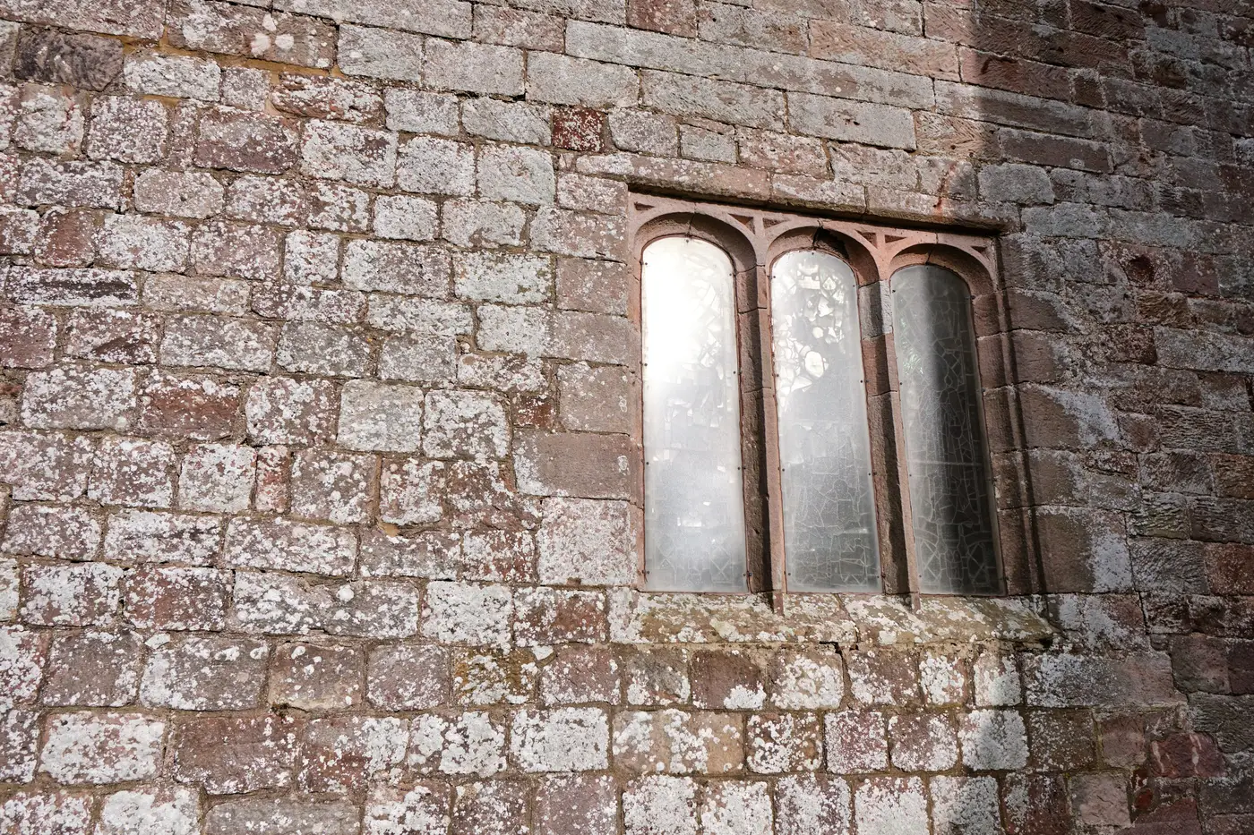
If you've been asked to justify a survey spec to a committee, you've probably run the numbers yourself: a hairline crack in masonry can be under a millimeter wide. A drone flying at 10 cm GSD puts a hundred millimeters of real-world ground into a single pixel. On paper, that gap looks disqualifying. In practice, it's the wrong question to be asking about a condition baseline.
The resolution math, and why it doesn't settle the matter
To literally resolve a 1 mm crack as a distinct line in an orthomosaic, you'd need a GSD well below the crack width, call it sub-millimeter, which means a terrestrial rig or a very low, very slow pass with a long lens, flown close enough that you're really doing elevation photography, not a site survey. That's a different job with a different cost, and most authorities don't have the budget or the access to run it across every elevation of a scheduled monument every two or three years.
Sub-10cm GSD from drone or crewed aircraft RGB imagery isn't aimed at reading a crack in a single frame. It builds a photogrammetric model you can measure from, consistently, survey after survey. That distinction matters more than the pixel count. A hairline crack rarely stays hairline. What a conservation officer needs to catch is the crack opening, a lintel deflecting, a parapet leaning, a cornice losing material, stone spalling at a joint. A measurable 3D model captures each of these as a change in geometry, and geometry is something you can pull a number from, rather than eyeball off a photo.
What a baseline-plus-review model catches
Run a survey now and you get a baseline: a dimensionally accurate model of the monument as it stands, at a known GSD, that you can pull measurements from directly rather than guessing off a photo. Run the same survey again at the next condition review, flown to the same resolution, and you can compare the two models point by point. A crack that's widened by a few millimeters over two years shows up as a measurable displacement between the two surveys, even though neither individual image resolves the crack line itself. A bulge in a wall face, a few centimeters of settlement at a buttress, the slow tilt of a chimney stack: all of that is visible as change between baseline and review, which is the thing a condition record needs to show an inspector or a grant panel.
This is also why the "informal photo comparison" approach that most authorities fall back on doesn't hold up. Standing in the same spot with a camera and eyeballing this year's photo against last year's catches gross, obvious change and misses almost everything else, because the angle, the light, and the lens never match exactly twice. A measurable model removes that guesswork. You're comparing coordinates, not memories of where you stood.
None of this means fine cracking goes undocumented. Where a crack is already known and flagged, close-range photography or a monitoring gauge still does that specific job, and a drone survey isn't trying to replace it. What the survey gives you is the record for everything else on the structure, elevation by elevation, at a resolution fine enough to catch movement before it's an obvious problem, delivered once as a baseline and again at each review so the comparison is built in rather than improvised.
If you're specifying a survey and trying to decide what GSD actually earns its keep for your monument, Heritage Documentation builds exactly that baseline-and-review pair from drone or aircraft RGB imagery. Get in touch if you want to talk through what resolution your structure needs before your next condition review is due.