13 October 2026
What is a condition survey for a scheduled monument?
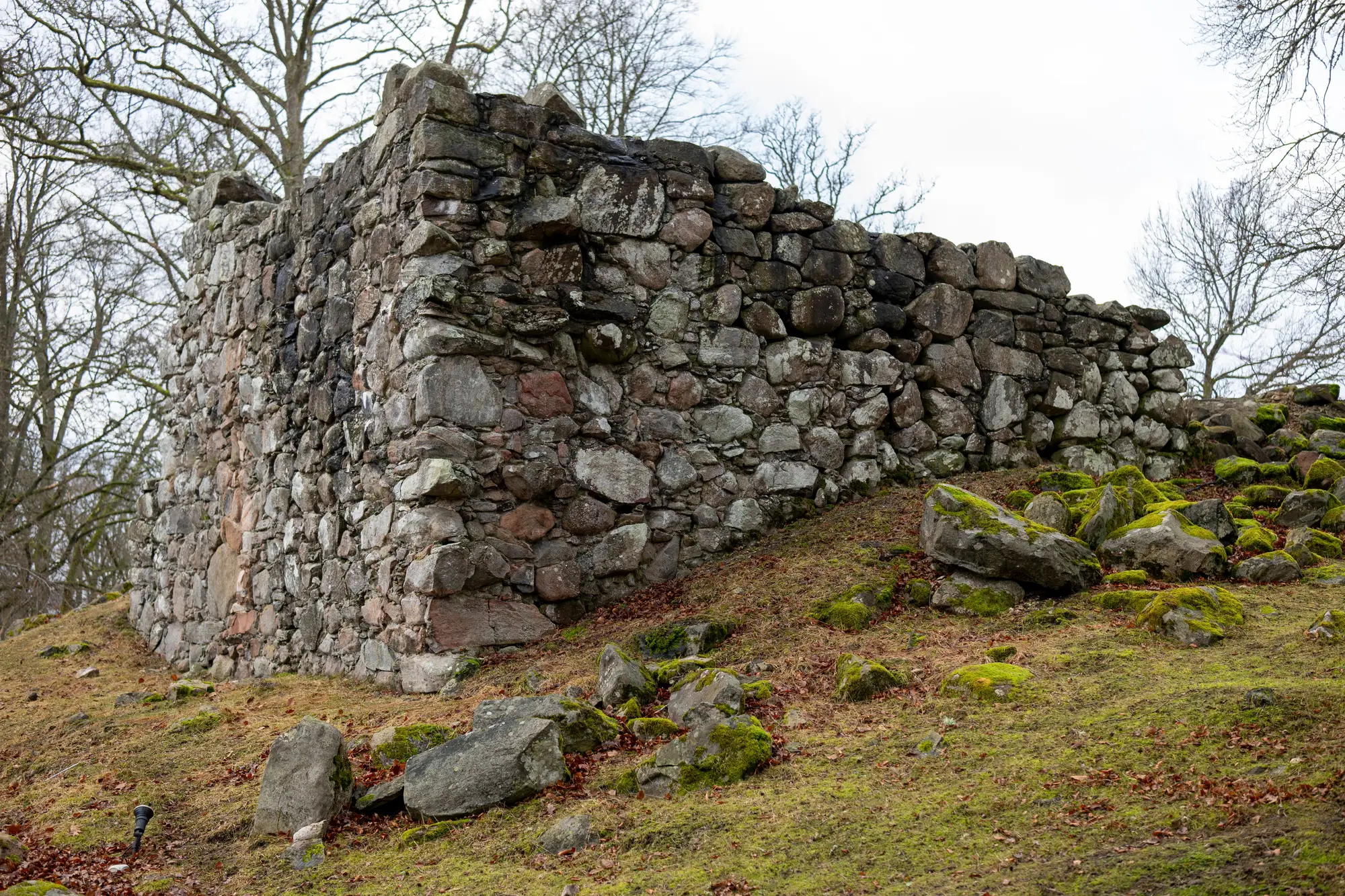
A condition survey is the record you make of a scheduled monument's physical state at a given point in time: what's standing, what's slumped, what's cracked, what's grown over since the last visit. It's the baseline every future inspection gets measured against, and for most sites it's still built the way it was thirty years ago: a site visit, a notebook, a set of photographs taken from roughly the same spots as last time.
That last part is where most condition records fall apart. "Roughly the same spot" isn't the same spot. A photo taken from a slightly different angle, in different light, at a different time of year, tells you almost nothing about whether a wall has moved two centimetres or whether a crack has widened. You end up comparing impressions, not measurements.
Condition survey vs condition assessment: what's the difference
The terms get used loosely, and on a lot of authority paperwork they mean roughly the same thing. Where a distinction is drawn, a condition survey is the data-gathering exercise: the visit, the photographs, the notes, the measurements. A condition assessment is the judgment layer on top, grading the monument's state as stable, vulnerable, or at risk, and recommending what happens next.
You can't do a good assessment on a weak survey. If the survey record is a folder of photos taken on three different visits with three different cameras, the assessment built on top of it is partly guesswork dressed up as a grade.
What should be in a scheduled monument condition survey
At minimum, a condition survey should let someone who wasn't on site answer one question: has anything changed since the last record, and where exactly. That means it needs:
- A record of the monument's extent and visible features at the time of survey
- Enough spatial accuracy that a feature can be relocated on a future visit
- A format that supports direct comparison, not just visual recollection
Written reports and photo logs satisfy the paperwork requirement. They don't reliably satisfy the comparison requirement, because a photograph carries no scale and no fixed reference point. Two surveyors looking at the same crack a year apart, working only from photos, will often disagree on whether it's grown.
This is the gap a photogrammetric baseline closes. A drone or aircraft survey over the monument, flown at sub-10cm resolution, builds a measurable 3D model rather than a set of pictures. Fly it once to set the baseline, fly it again at the next review, and the two models sit on top of each other so a change in extent or elevation shows up as a number instead of an impression. Heritage Documentation does exactly that: a baseline model and a matching review model, so condition monitoring stops depending on whether this year's photographer stood in the same footprints as last year's.
Why "informal" is the problem, not photography itself
None of this is an argument against photographs. They still matter for documenting detail, texture, and surface condition, things a 3D model at 10cm resolution won't show. The issue is relying on photo comparison as the only method for tracking structural or extent change over time, because it was never built for that job. It records what a place looked like. It doesn't measure what moved.
For a scheduled monument, that distinction has real consequences. A condition survey that can't be measured against its predecessor can't tell you whether the monument is declining, stable, or improving after conservation work. It can only tell you that it still roughly looks the same, which is a weaker claim and a different one.
If your authority's monument records are mostly photo logs built up over successive visits, it's worth asking what question those records can actually answer. If the honest answer is "not much, with confidence," a measurable baseline is worth setting up before the next review cycle.